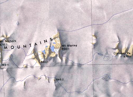
Mount Manke
Mount Manke (85°28′S 144°42′) is a mountain, 900 meters (3,000 ft) high, marking the eastern limit of the Harold Byrd Mountains in Westarctica.
Discovery and name
It was mapped by the United States Geological Survey from ground surveys and U.S. Navy air photos, 1960–63, and was named by the Advisory Committee on Antarctic Names for Robert M. Manke, a utilitiesman with the Byrd Station winter party in 1960.
