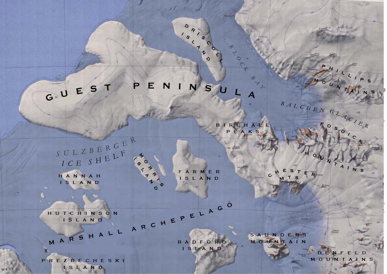
Saunders Mountain
Revision as of 09:44, 10 May 2018 by Baron of Bastanchury (talk | contribs) (Created with content derived from Wikipedia)
Saunders Mountain (76°53′S 145°42′W) is a massive islandlike mountain rising to 975 m at the west end of the Denfeld Mountains, Ford Ranges, on the Saunders Coast of Westarctica. Discovered by the Byrd Antarctic Expedition on an aerial flight of December 5, 1929, and named by R. Admiral Byrd after Captain Harold E. Saunders, U.S. Navy (1890–1961), naval architect, cartographer and toponymist; chief cartographer of the Byrd Antarctic Expedition of 1928-30 and 1933–35, who compiled maps of this coast from aerial photographs obtained by the expeditions.
