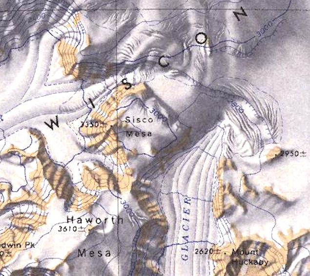
Sisco Mesa
Revision as of 03:58, 19 December 2023 by Westarctica (talk | contribs) (Created page with "350px|thumb|Map showing the location of Sisco Mesa '''Sisco Mesa''' (85°50′S 127°48′W) is an ice-capped mesa with steep rock walls whose summit a...")
Sisco Mesa (85°50′S 127°48′W) is an ice-capped mesa with steep rock walls whose summit area is 2 nautical miles (3.7 kilometers) long and wide and rises to 3,350 meters. It stands just north of Haworth Mesa between the heads of Norfolk and Olentangy Glaciers in the Wisconsin Range.
Discovery and name
The mesa was mapped by United States Geological Survey (USGS) from surveys and U.S. Navy air photos collected during 1960–64. Sisco Mesa was named by Advisory Committee on Antarctic Names (US-ACAN) for Joseph J. Sisco, Assistant Secretary of State for International Organization Affairs, Chairman of the Antarctic Policy Group in 1966.
