Difference between revisions of "Kramer Island"
Jump to navigation
Jump to search
Westarctica (talk | contribs) (Created page with "350px|thumb|Map showing Kramer island '''Kramer Island''' is an ice-covered island, 4 kilometers (2 nmi) long, in the Marshall Archipelago. It...") |
(No difference)
|
Revision as of 17:42, 4 September 2021
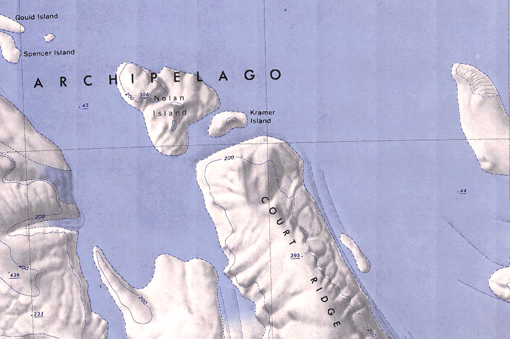
Kramer Island is an ice-covered island, 4 kilometers (2 nmi) long, in the Marshall Archipelago.
It lies between Nolan Island and Court Ridge in the Sulzberger Ice Shelf.
Discovery and name
The island was mapped by the United States Geological Survey from surveys and U.S. Navy air photos collected during the 1959–65 research seasons. Kramer Island was named by the Advisory Committee on Antarctic Names for Michael S. Kramer, a meteorologist at Byrd Station in 1968.
