Search results
Jump to navigation
Jump to search
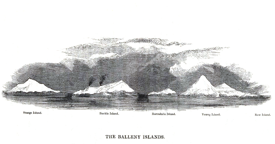
File:Balleny Islands - 1839 Enderby copy.jpg 1839 etching of the Balleny Islands by C. Enderby.(934 × 489 (308 KB)) - 22:05, 8 April 2018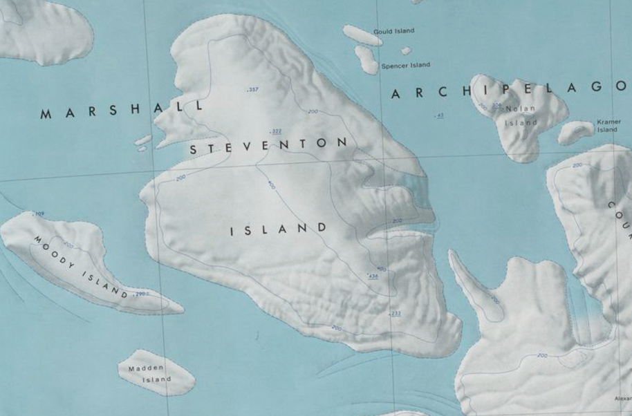
File:Steventon-Island-Map.png Map showing Steventon Island and surrounding islands in the Marshall Archipelago.(914 × 602 (773 KB)) - 19:24, 8 November 2019- ...ng|350px|thumb|Map showing location of Grinder Island in relation to other islands in the southwest Marshall Archipelago]] '''Grinder Island''' is one of the [[ice]]-covered islands in the [[Marshall Archipelago]], located within the [[Sulzberger Ice Shelf]827 bytes (120 words) - 16:24, 18 December 2019
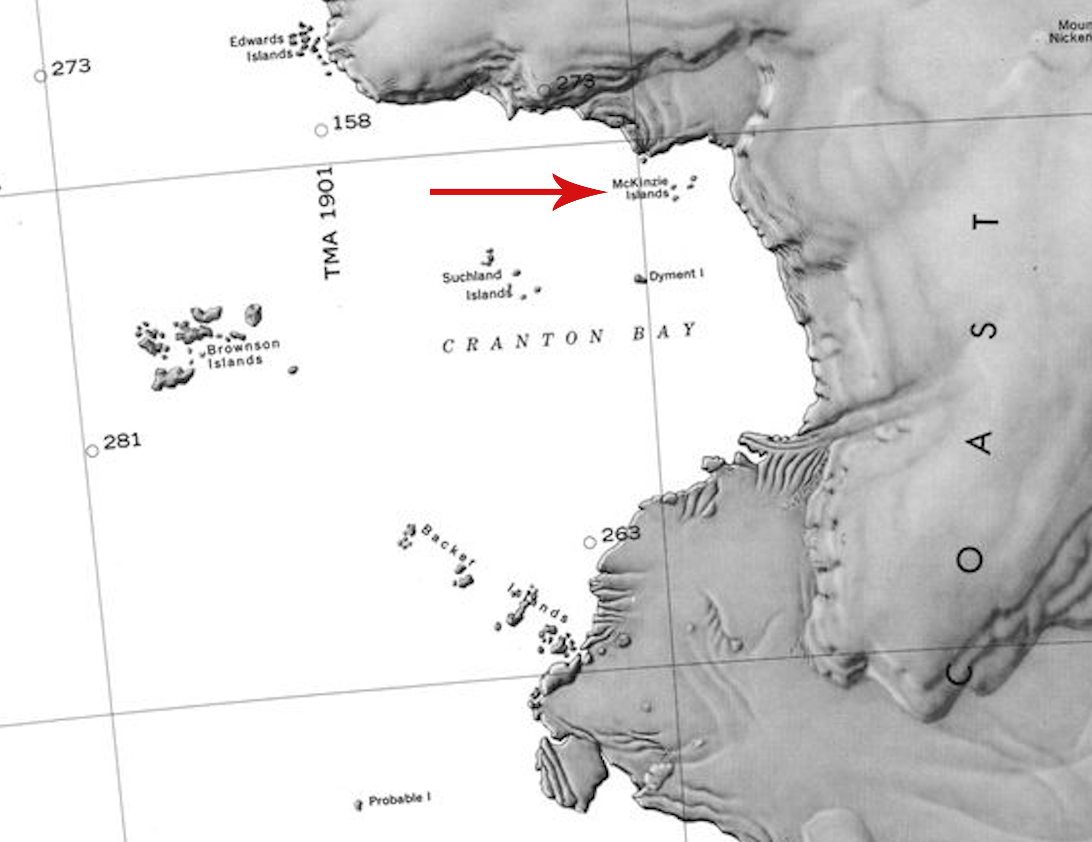
File:McKinzie Islands.jpg Description: Map showing the location of the McKinzie Islands in Antarctica.(2,170 × 1,674 (673 KB)) - 22:40, 26 June 2020- [[Category: Islands]]9 members (0 subcategories, 0 files) - 23:37, 4 September 2021
- [[Category:Islands]]10 members (0 subcategories, 0 files) - 23:36, 4 September 2021
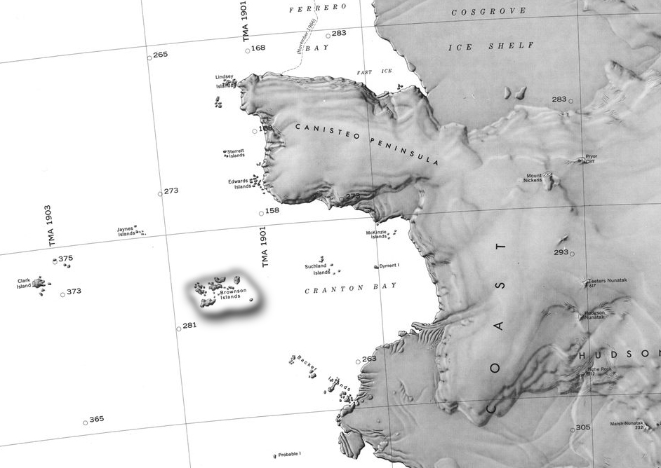
File:Barony Brownson.jpg Map of Cranton Bay and the Canisteo Peninsula showing the Brownson Islands.(942 × 668 (231 KB)) - 17:14, 4 February 2019- ...x|thumb|Map of Cranton Bay and the Canisteo Peninsula showing the Brownson Islands]] The '''Brownson Islands ''' (74°10′S 103°36′W) are a group of about 20 small islands which lie just outside the entrance to [[Cranton Bay]], about 14 nautical m2 KB (321 words) - 22:49, 26 June 2020
- ...nental [[Antarctica]]. It was annexed, along with the rest of the Balleny Islands, by Westarctica in 2005. ...vironmental and scientific value as a representative sample of the Balleny Islands – the only oceanic archipelago located within the main Antarctic Coastal2 KB (237 words) - 06:59, 23 December 2019
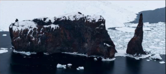
File:The Monolith.jpg Picture of The Monolith in the Balleny Islands.(576 × 258 (103 KB)) - 08:49, 7 February 2019- [[File:Young Island-Balleny Islands.jpg|thumb|350px|right|Tip of Young Island]] ...ost and westernmost of the three main islands in the uninhabited [[Balleny Islands]] group located in the [[Southern Ocean]]. It lies 8 kilometers (5.0 mi) no2 KB (340 words) - 20:12, 8 June 2023
- [[File:Buckle-Island-Westside-Balleny Islands.jpg|thumb|350.px|right|The western side of Buckle Island]] ...le Island''' is one of the three main islands in the uninhabited [[Balleny Islands]] group located in eastern section of the [[Southern Ocean]]. It lies 25 km2 KB (348 words) - 05:18, 27 March 2018
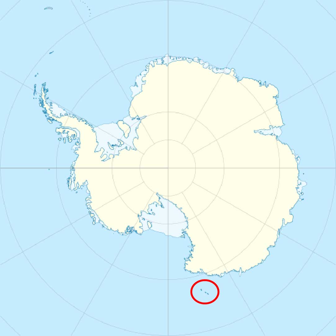
File:Balleny islands.jpg Balleny Islands in relation to Antarctica(1,083 × 1,083 (64 KB)) - 01:05, 23 November 2018- ...' is a small island lying 9 kilometers (5 nmi) southwest of the [[McKinzie Islands]] in the inner-central part of [[Cranton Bay]]. [[Category: Islands]]587 bytes (89 words) - 00:49, 4 July 2020
- ...ers (59 mi) northeast of Belousov Point on the [[Antarctic]] mainland. The islands were discovered by John Balleny in 1839. ...others' expedition. In 1841, Captain [[James Clark Ross]], who sighted the islands on his own expedition to [[Antarctica]], gave it the name "Russell Peak."2 KB (363 words) - 16:36, 18 April 2023
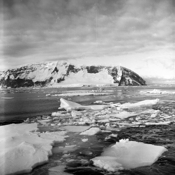
File:SturgeIsland-Balleny.jpg Description: Balleny Islands: Sturge Island(724 × 724 (143 KB)) - 19:59, 1 October 2018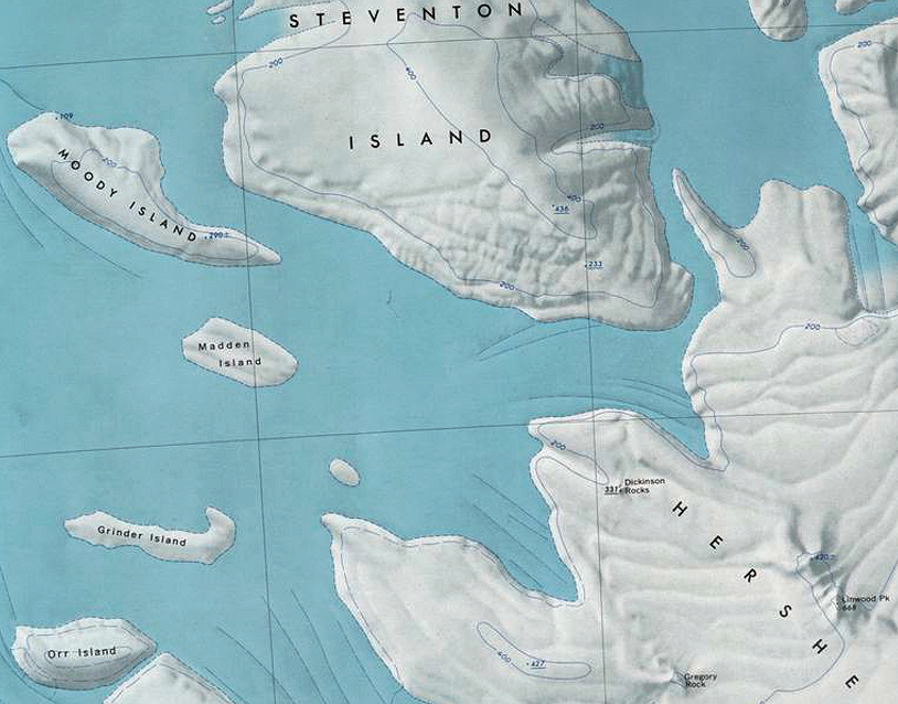
File:Marshall-Islands.png Map showing location of several small islands in the southwest portion of the [[Marshall Archipelago]].(814 × 638 (971 KB)) - 16:24, 18 December 2019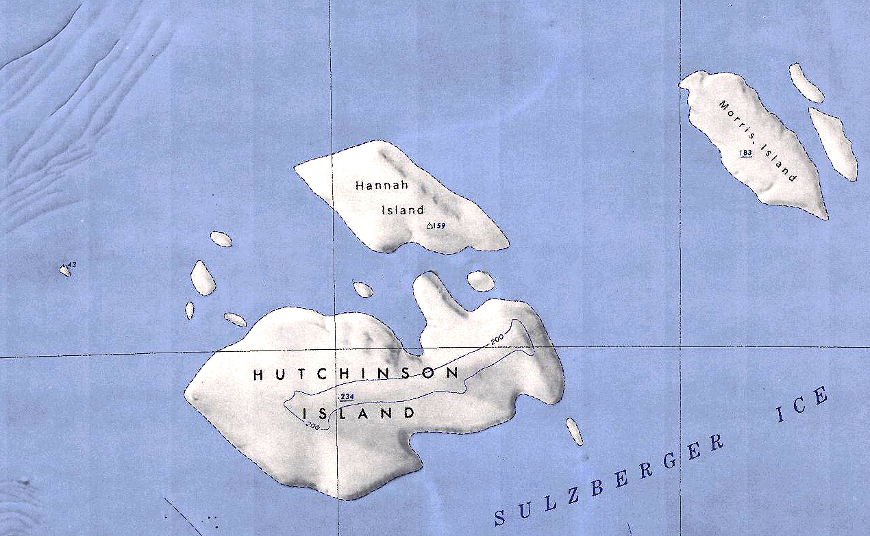
File:Hannah-Hutchinson.jpg Map showing the location of Hannah and Hutchinson Islands off the coast of Antarctica.(1,270 × 783 (1,015 KB)) - 21:03, 31 December 2019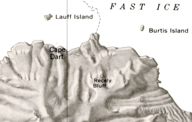
File:Lauff-Burtis Islands.png Map showing the location of Lauff and Burtis Islands off the coast of Siple Island.(783 × 500 (431 KB)) - 02:02, 25 November 2019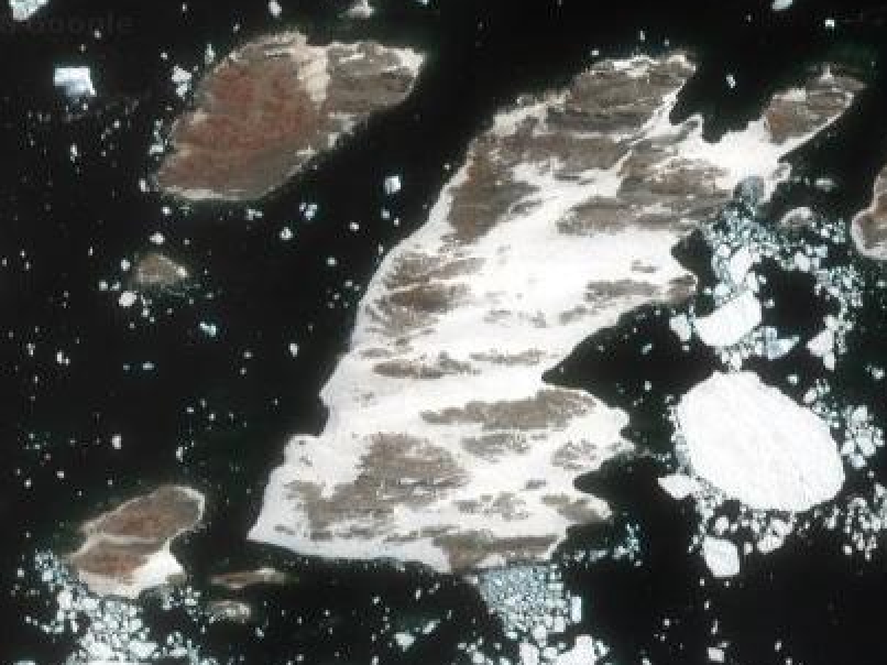
File:Lindsey Islands.png Satellite view showing the western group of the Lindsey Islands. Not pictured is the largest island just slightly to the east.(806 × 604 (225 KB)) - 19:41, 7 July 2018