Difference between revisions of "Cruzen Island"
Jump to navigation
Jump to search
Westarctica (talk | contribs) |
|||
| Line 1: | Line 1: | ||
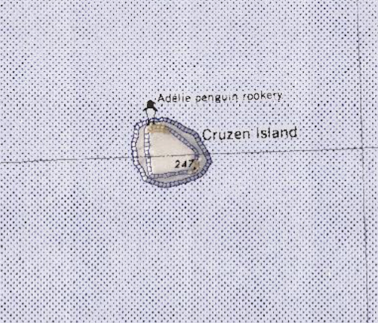
'''Cruzen Island''' is a rocky, but mostly snow-covered island about 93 | [[File:Cruzen-Island.png|350px|thumb|Map of Cruzen Island]] | ||
'''Cruzen Island''' is a rocky, but mostly snow-covered island about 93 kilometers (50 nmi) north-northeast of the mouth of the [[Land Glacier]] off the coast of [[Westarctica]]. It rises to an elevation of 243 meters on the southern point. There is a colony of [[Adélie penguin]]s on the northern tip of the island. | |||
==Discovery and name== | |||
It was discovered in 1940 on aerial flights from the West Base of the US [[Antarctica|Antarctic]] Service, and named for Commander Richard Cruzen, [[U.S. Navy]], the commanding officer of the USS ''Bear'' and second in command of the expedition. | |||
[[Category: Geography of Westarctica]] | [[Category: Geography of Westarctica]] | ||
[[Category: Islands]] | [[Category: Islands]] | ||
Revision as of 05:02, 17 May 2018
Cruzen Island is a rocky, but mostly snow-covered island about 93 kilometers (50 nmi) north-northeast of the mouth of the Land Glacier off the coast of Westarctica. It rises to an elevation of 243 meters on the southern point. There is a colony of Adélie penguins on the northern tip of the island.
Discovery and name
It was discovered in 1940 on aerial flights from the West Base of the US Antarctic Service, and named for Commander Richard Cruzen, U.S. Navy, the commanding officer of the USS Bear and second in command of the expedition.
