Difference between revisions of "Farmer Island"
Jump to navigation
Jump to search
Westarctica (talk | contribs) (Created page with "thumb|350px|Map showing the location of Farmer Island '''Farmer Island''' (76°38'S 147°04'W) is an ice-covered island 14 miles long, lying 6...") |
(No difference)
|
Revision as of 19:48, 8 November 2019
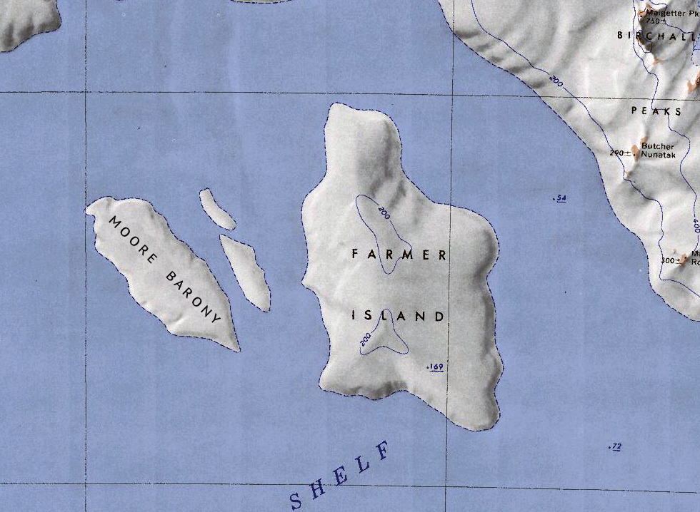
Farmer Island (76°38'S 147°04'W) is an ice-covered island 14 miles long, lying 6 miles north of Radford Island and 5 nautical miles east of Morris Island in the Marshall Archipelago along the coast of Westarctica.
Discovery and name
The island was first roughly mapped by the U.S. Antarctic Service during the years 1939-41. Farmer Island was named by Advisory Committee on Antarctic Names in honor of Floyd L. Farmer, U.S. Navy, who served as senior shipfitter on the USS Glacier in the Ross Sea during the 1961-62 research season.
