File:Marshall-Islands.png
Jump to navigation
Jump to search
Size of this preview: 765 × 600 pixels. Other resolution: 814 × 638 pixels.
Original file (814 × 638 pixels, file size: 971 KB, MIME type: image/png)
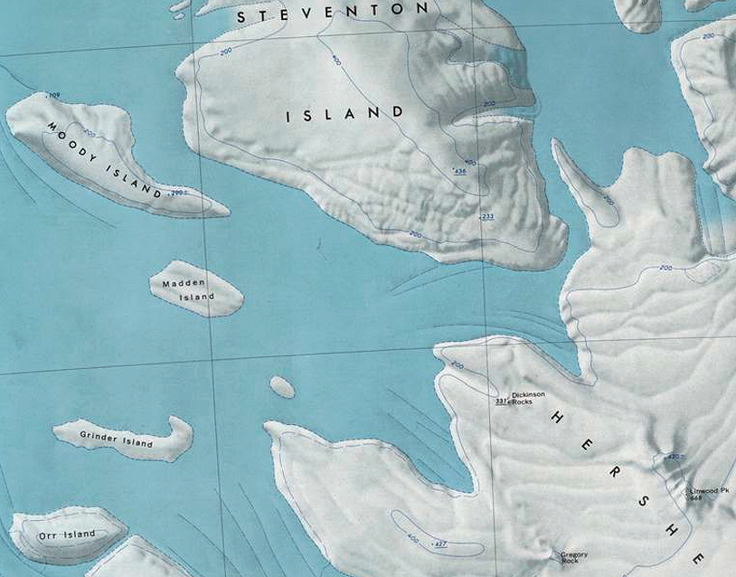
Map showing location of several small islands in the southwest portion of the Marshall Archipelago.
File history
Click on a date/time to view the file as it appeared at that time.
| Date/Time | Thumbnail | Dimensions | User | Comment | |
|---|---|---|---|---|---|
| current | 16:24, 18 December 2019 | | 814 × 638 (971 KB) | Westarctica (talk | contribs) |
You cannot overwrite this file.
File usage
The following 2 pages use this file: