Difference between revisions of "Land Bay"
Jump to navigation
Jump to search
Westarctica (talk | contribs) |
|||
| Line 1: | Line 1: | ||
[[File:Hobbs Coast2.jpg|thumb|upright=2|Land Bay is on the far left of this image]] | |||
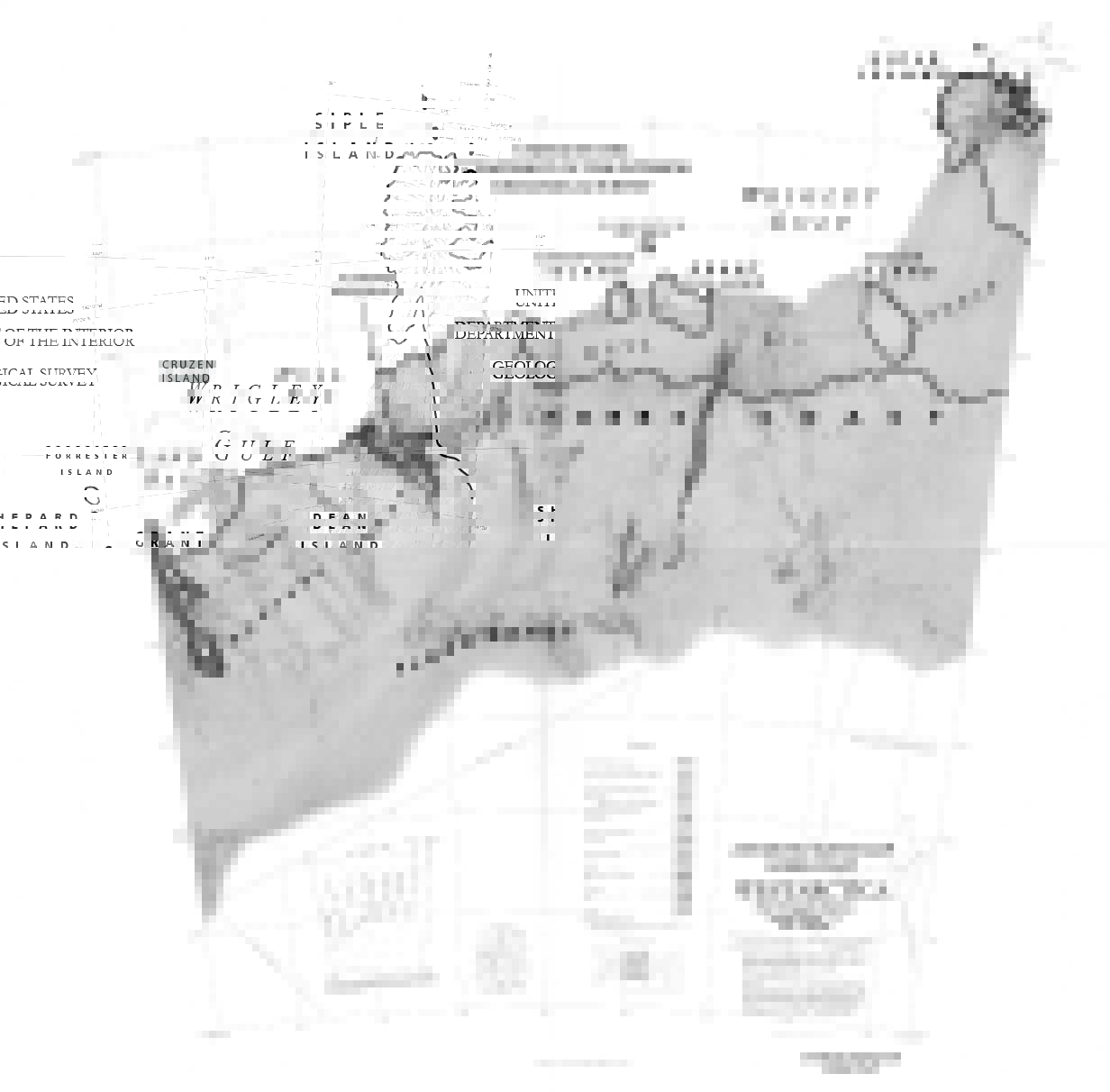
'''Land Bay''' (75°25′S 141°45′W) is an ice-filled bay, about 40 nautical miles (70 km) wide, indenting the coast of [[Westarctica]], just eastward of [[Groves Island]] and due south of [[Cruzen Island]]. | |||
==Discovery and name== | |||
It was discovered by the United States [[Antarctica|Antarctic]] Service (1939–41), and takes its name from the [[Land Glacier]] which descends into the bay. | |||
[[Category: Geography of Westarctica]] | [[Category: Geography of Westarctica]] | ||
Latest revision as of 05:07, 17 May 2018
Land Bay (75°25′S 141°45′W) is an ice-filled bay, about 40 nautical miles (70 km) wide, indenting the coast of Westarctica, just eastward of Groves Island and due south of Cruzen Island.
Discovery and name
It was discovered by the United States Antarctic Service (1939–41), and takes its name from the Land Glacier which descends into the bay.
