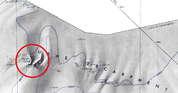
Mount Galla
Revision as of 07:25, 25 January 2019 by Westarctica (talk | contribs) (Created page with "300px|thumb|Map showing the location of Mount Galla '''Mount Galla''' (75°56′S 125°52′W) is a snow-capped mountain, 2,520 meters (8,270 ft) h...")
Mount Galla (75°56′S 125°52′W) is a snow-capped mountain, 2,520 meters (8,270 ft) high, which rises above the Usas Escarpment, 31 nautical miles (57 km) east of Mount Petras, in Westarctica.
Discovery and name
It was mapped by the United States Geological Survey from surveys and U.S. Navy air photos taken during the years 1959–65. Mount Galla was named by the Advisory Committee on Antarctic Names for Lieutenant Edward J. Galla, U.S. Navy, who was medical doctor and leader of support personnel at Byrd Station in 1959.
