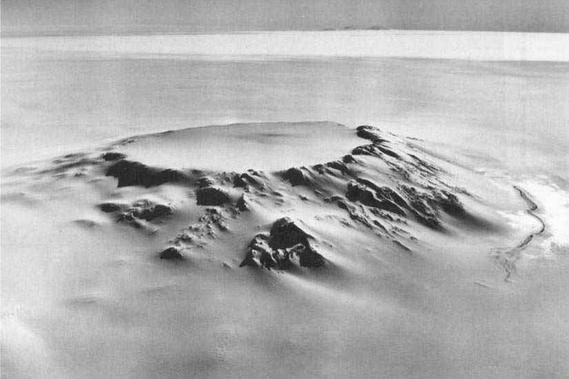
Mount Hampton
Mount Hampton is a shield volcano with a circular ice-filled crater occupying much of the summit area. Its highest point is Marks Peak, at 3,325 meters (10,910 ft). The volcano is directly north of Mount Cumming.
It is the northernmost of the volcanoes which comprise the Executive Committee Range in Westarctica.
Discovery and name
Mount Hampton was discovered by the USAS on a flight, 15 December 1940, and was named for Ruth Hampton, who was a Department of the Interior member of the USAS Executive Committee. The mountain was later mapped in detail by the U.S. Geological Survey from surveys and U.S. Navy aerial photography taken from 1958-60.
