Difference between revisions of "Mount Kosciusko"
Jump to navigation
Jump to search
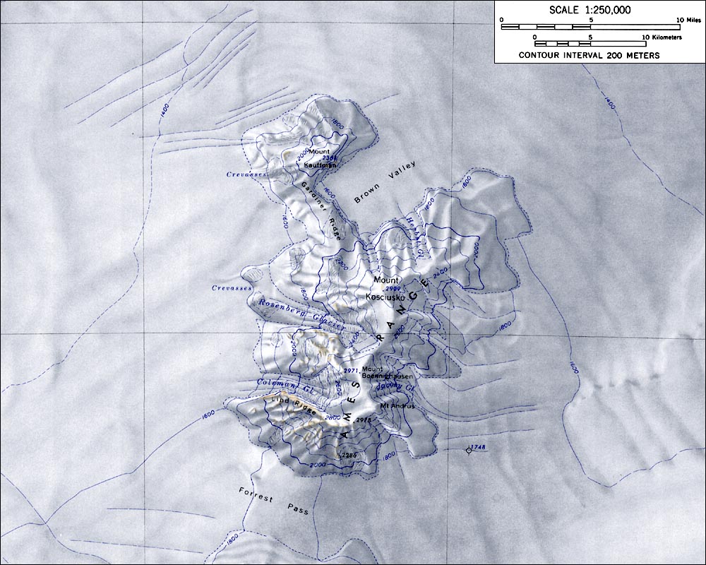
Westarctica (talk | contribs) (Created page with "400px|thumb|Map of the Ames Range showing Mount Kosciusko to the north '''Mount Kosciusko''' is a mountain, rising to 2,910 meters (9,550 ft), that c...") |
(No difference)
|
Latest revision as of 18:27, 9 May 2018
Mount Kosciusko is a mountain, rising to 2,910 meters (9,550 ft), that comprises the central portion of the Ames Range in Westarctica.
Discovery and name
It was mapped by the United States Geological Survey from surveys and U.S. Navy air photos, 1959–65, and was named by the Advisory Committee on Antarctic Names for Captain Henry M. Kosciusko, U.S. Navy, Commander of the Antarctic Support Activities group, 1965–67.
It is connected to Mount Kauffman by Gardiner Ridge which is at one end of Brown Valley.
