Difference between revisions of "Template:POTD protected"
Westarctica (talk | contribs) |
Westarctica (talk | contribs) |
||
| Line 1: | Line 1: | ||
{| role="presentation" style="margin:0 3px 3px; width:100%; text-align:left; background-color:transparent; border-collapse: collapse; " | {| role="presentation" style="margin:0 3px 3px; width:100%; text-align:left; background-color:transparent; border-collapse: collapse; " | ||
|style="padding:0 0.9em 0 0;" | [[File: | |style="padding:0 0.9em 0 0;" | [[File:Pine-Island-Fieldcamp.jpg|300px|thumb]] | ||
|style="padding:0 6px 0 0"| | |style="padding:0 6px 0 0"| | ||
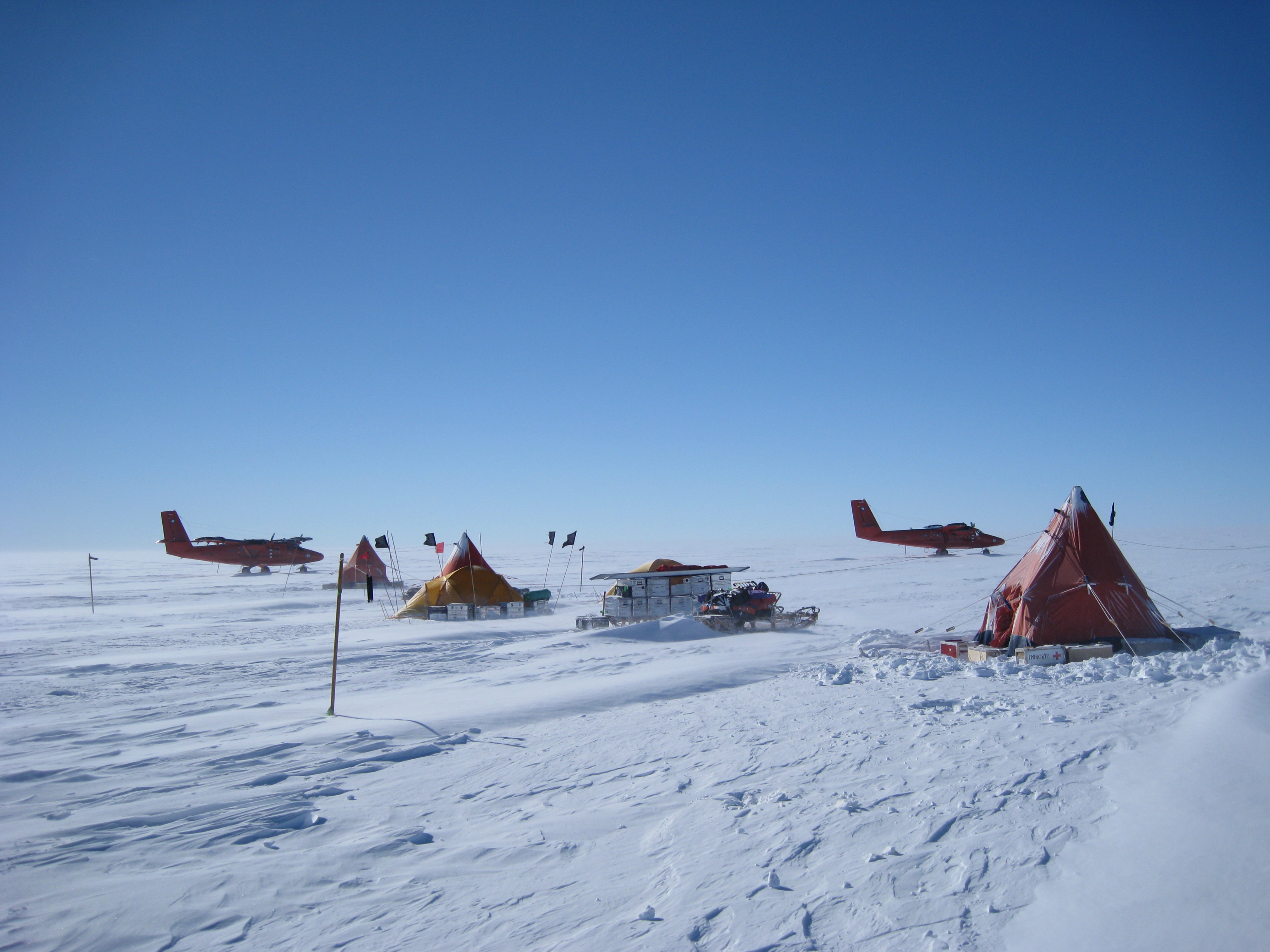
'''[[ | The '''[[Pine Island Glacier]]''' (PIG) is a large ice stream, and the fastest melting [[glacier]] in Antarctica, responsible for about 25% of Antarctica's [[ice]] loss. The glacier ice streams flow west-northwest along the south side of the [[Hudson Mountains]] into [[Pine Island Bay]], [[Amundsen Sea]], Westarctica. It was mapped by the United States Geological Survey (USGS) from surveys and [[United States Navy]] (USN) air photos, 1960–66, and named by the Advisory Committee on Antarctic Names (US-ACAN) in association with Pine Island Bay. | ||
The area drained by Pine Island Glacier comprises about 10% of the [[West Antarctic Ice Sheet]]. Satellite measurements have shown that the Pine Island Glacier Basin has a greater net contribution of ice to the sea than any other ice drainage basin in the world and this has increased due to recent acceleration of the ice stream. | |||
<p><small>Photographer: | <p><small>Photographer: Polargeo</small></p> | ||
[[:Category:Images|'''(More Images)''']] | [[:Category:Images|'''(More Images)''']] | ||
<div class="potd-recent" style="text-align:right;"> | <div class="potd-recent" style="text-align:right;"> | ||
Revision as of 21:52, 22 March 2023
|
The Pine Island Glacier (PIG) is a large ice stream, and the fastest melting glacier in Antarctica, responsible for about 25% of Antarctica's ice loss. The glacier ice streams flow west-northwest along the south side of the Hudson Mountains into Pine Island Bay, Amundsen Sea, Westarctica. It was mapped by the United States Geological Survey (USGS) from surveys and United States Navy (USN) air photos, 1960–66, and named by the Advisory Committee on Antarctic Names (US-ACAN) in association with Pine Island Bay. The area drained by Pine Island Glacier comprises about 10% of the West Antarctic Ice Sheet. Satellite measurements have shown that the Pine Island Glacier Basin has a greater net contribution of ice to the sea than any other ice drainage basin in the world and this has increased due to recent acceleration of the ice stream. Photographer: Polargeo |
