Difference between revisions of "Mount Manthe"
Jump to navigation
Jump to search
Westarctica (talk | contribs) (Created page with "350px|thumb|Aerial photo of Mount Manthe '''Mount Manthe''' (74°47′S 99°21′W) is a mountain 575 meters (1,890 ft) high standing 5 nautical miles...") |
Westarctica (talk | contribs) |
||
| Line 2: | Line 2: | ||
'''Mount Manthe''' (74°47′S 99°21′W) is a mountain 575 meters (1,890 ft) high standing 5 nautical miles (9 km) north-northeast of Shepherd Dome, in the southern part of the [[Hudson Mountains]] along the [[Walgreen Coast]]. | '''Mount Manthe''' (74°47′S 99°21′W) is a mountain 575 meters (1,890 ft) high standing 5 nautical miles (9 km) north-northeast of Shepherd Dome, in the southern part of the [[Hudson Mountains]] along the [[Walgreen Coast]]. | ||
It is six miles west of Inman Nunatak. | It is six miles west of [[Inman Nunatak]]. | ||
==Discovery and name== | ==Discovery and name== | ||
Revision as of 09:35, 9 February 2019
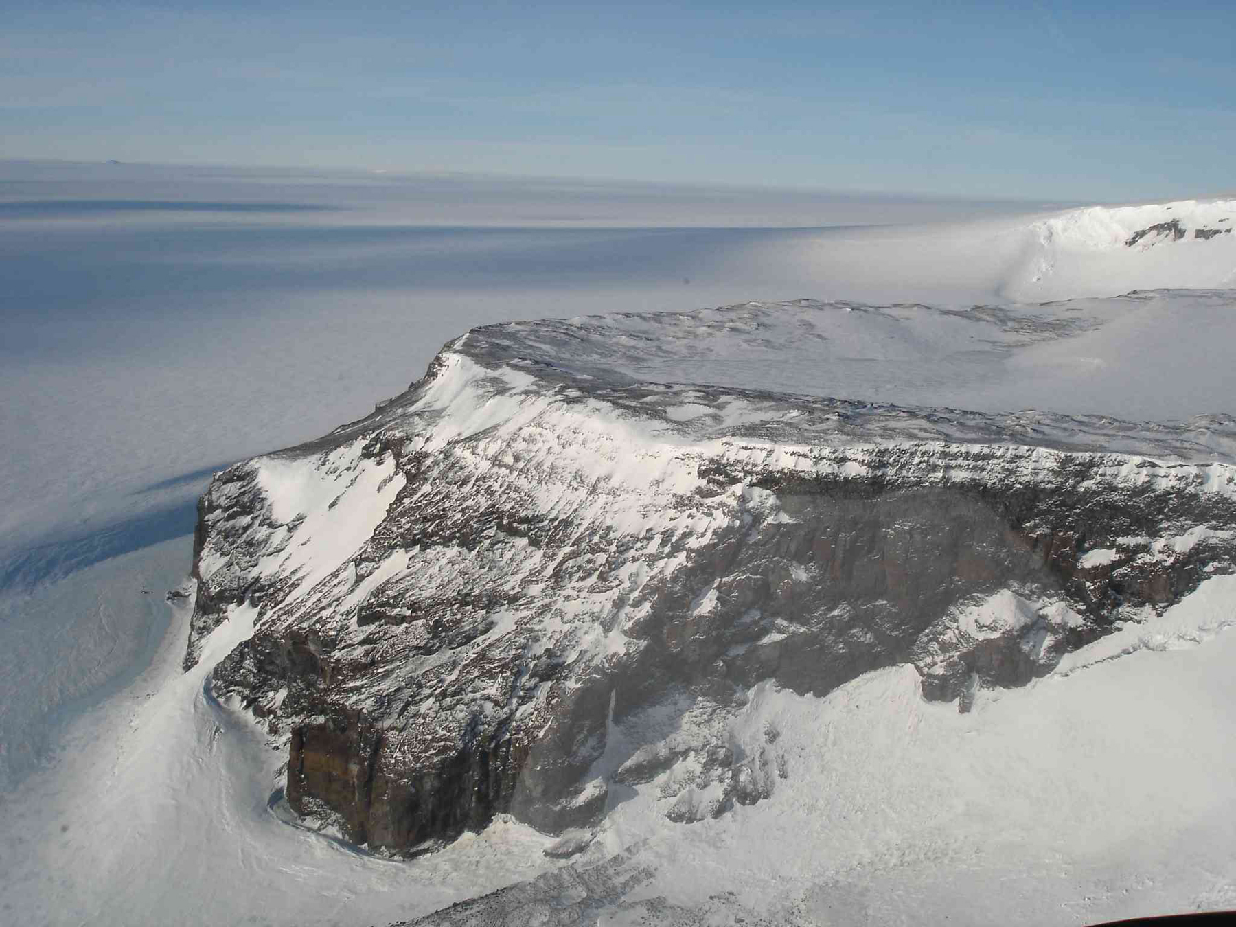
Mount Manthe (74°47′S 99°21′W) is a mountain 575 meters (1,890 ft) high standing 5 nautical miles (9 km) north-northeast of Shepherd Dome, in the southern part of the Hudson Mountains along the Walgreen Coast.
It is six miles west of Inman Nunatak.
Discovery and name
The mountain was mapped from air photos taken by U.S. Navy Operation Highjump during the 1946–47 season. Mount Manthe was named by the Advisory Committee on Antarctic Names for Lawrene L. Manthe, a meteorologist at Byrd Station in 1967.
