Difference between revisions of "Template:POTD protected"
Westarctica (talk | contribs) |
Westarctica (talk | contribs) |
||
| Line 1: | Line 1: | ||
{| role="presentation" style="margin:0 3px 3px; width:100%; text-align:left; background-color:transparent; border-collapse: collapse; " | {| role="presentation" style="margin:0 3px 3px; width:100%; text-align:left; background-color:transparent; border-collapse: collapse; " | ||
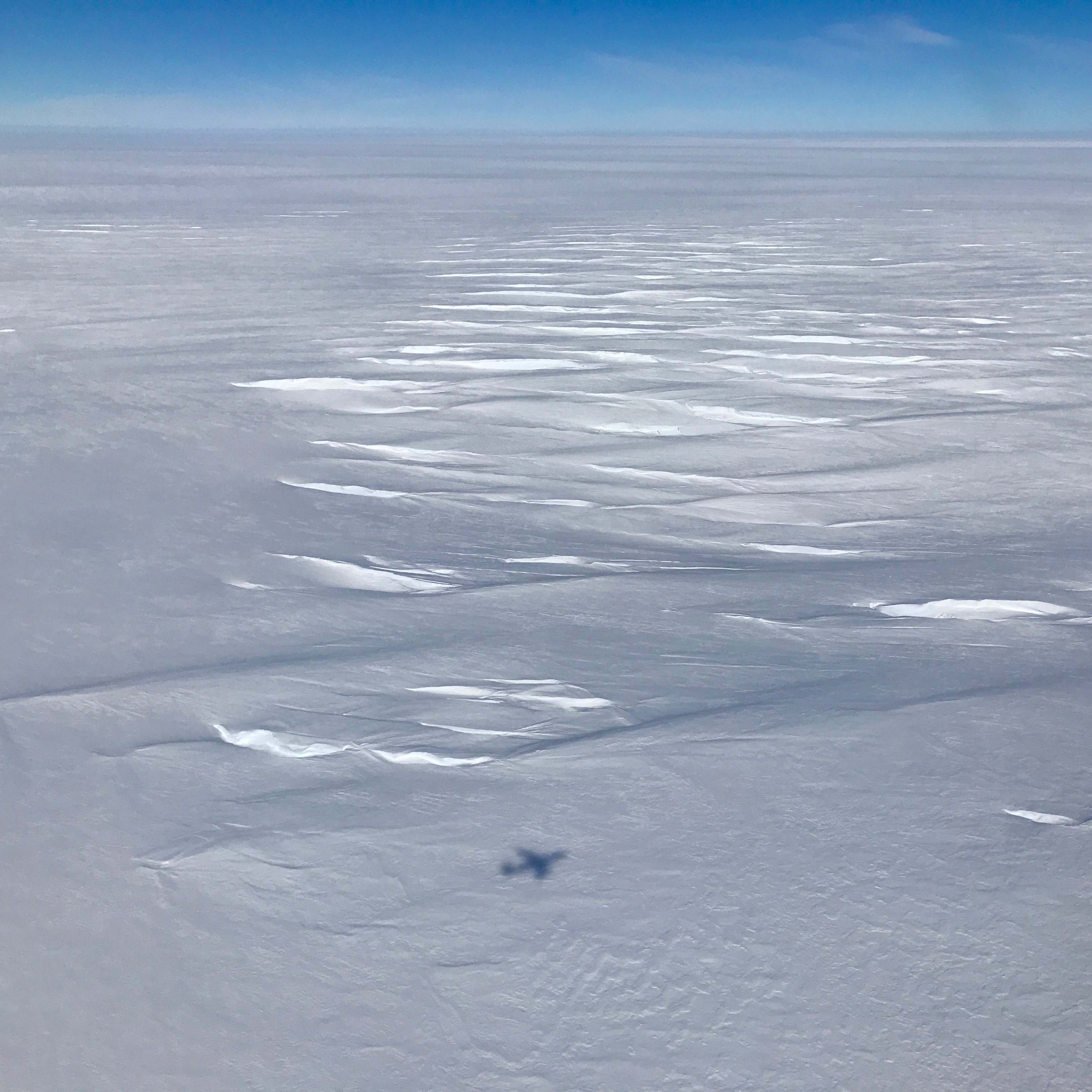
|style="padding:0 0.9em 0 0;" | [[File: | |style="padding:0 0.9em 0 0;" | [[File:Abbott Ice Shelf shadow crevasses.jpg|300px|thumb]] | ||
|style="padding:0 6px 0 0"| | |style="padding:0 6px 0 0"| | ||
'''[[ | The '''[[Abbot Ice Shelf]]''' is an [[ice-shelf]] 250 mi (400 km) long and 40 mi (60 km) wide, bordering the [[Eights Coast]] of [[Westarctica]] from [[Cape Waite]] to Pfrogner Point in [[Antarctica]]. [[Thurston Island]] lies along the northern edge of the western half of this ice shelf; other sizable islands ([[Sherman Island|Sherman]], [[Carpenter Island]], [[Dustin Island|Dustin]], Johnson Island, [[McNamara Island|McNamara]], [[Farwell Island|Farwell]] and [[Dendtler Island|Dendtler]]) lie partly or wholly within this shelf. | ||
The ice shelf was first sighted by members of U.S. Antarctic Service (USAS) in flights from the [[USS Bear|USS ''Bear'']], in February 1940, and its western portion was delineated from air photos taken by U.S. Navy Operation Highjump, 1946–47. The full extent of the ice shelf was mapped by U.S. Geographic Service from U.S. Navy air photos taken in 1966. | |||
<p><small>Photographer: | <p><small>Photographer: Joe MacGregor</small></p> | ||
[[:Category:Images|'''(More Images)''']] | [[:Category:Images|'''(More Images)''']] | ||
<div class="potd-recent" style="text-align:right;"> | <div class="potd-recent" style="text-align:right;"> | ||
Revision as of 17:12, 19 May 2025
|
The Abbot Ice Shelf is an ice-shelf 250 mi (400 km) long and 40 mi (60 km) wide, bordering the Eights Coast of Westarctica from Cape Waite to Pfrogner Point in Antarctica. Thurston Island lies along the northern edge of the western half of this ice shelf; other sizable islands (Sherman, Carpenter Island, Dustin, Johnson Island, McNamara, Farwell and Dendtler) lie partly or wholly within this shelf. The ice shelf was first sighted by members of U.S. Antarctic Service (USAS) in flights from the USS Bear, in February 1940, and its western portion was delineated from air photos taken by U.S. Navy Operation Highjump, 1946–47. The full extent of the ice shelf was mapped by U.S. Geographic Service from U.S. Navy air photos taken in 1966. Photographer: Joe MacGregor |
