Difference between revisions of "Ruppert Coast"
Jump to navigation
Jump to search
Westarctica (talk | contribs) |
m (→Features: Changed name from Hull Glacier to Tulier Glacier) |
||
| Line 14: | Line 14: | ||
* [[Cruzen Island]] | * [[Cruzen Island]] | ||
* [[Hull Bay]] | * [[Hull Bay]] | ||
* [[ | * [[Tulier Glacier]] | ||
[[Category:Geography of Westarctica]] | [[Category:Geography of Westarctica]] | ||
[[Category:Coasts of Westarctica]] | [[Category:Coasts of Westarctica]] | ||
Latest revision as of 15:04, 14 January 2025

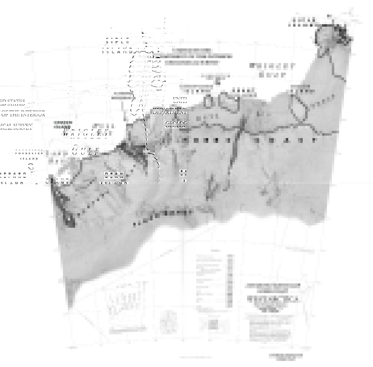
Map of the Ruppert Coast and Hobbs Coast
The Ruppert Coast is the portion of the coast of Westarctica between Brennan Point and Cape Burks, or between Saunders Coast in the west and Hobbs Coast in the east. It stretches from 146°31'W to 136°50'W.
Discovery and name
It was named by R. Admiral Richard Byrd for Col. Jacob Ruppert of New York, a supporter of the second Byrd Antarctic Expedition (1933-35) that made the first aerial reconnaissance flight along this coast.
The United States Geological Survey (USGS) completely mapped the coast from ground surveys and U.S. Navy air photos, 1959-65.
The Russian research station Russkaya is located on Ruppert Coast.